When wildfires force residents from their homes, knowing an evacuation route exists may not be enough.
A Kelowna, B.C., technology company is working to help emergency officials better understand the condition of back roads that could become critical escape routes during a disaster.
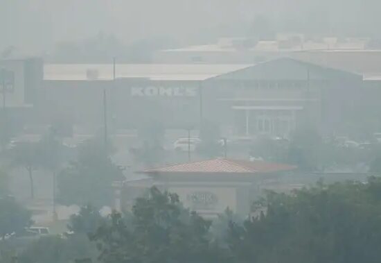
Line up of cars trying to evacuate Kelowna in 2023.
But what happens if the road meant to get people to safety is riddled with potholes, loose rock and washouts, or isn’t suitable for the vehicle they’re driving?
That’s the question Kelowna entrepreneur Ryan Gallagher has been trying to answer since the 2023 wildfire season.
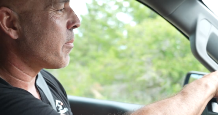
Ryan Gallagher surveying back roads using tech that he invented.
Cohan Sassaman / Global News
That experience led Gallagher to create Back Road Intel, a system that uses sensors and artificial intelligence to monitor backroads and evacuation routes.

Get daily National news
Get daily Canada news delivered to your inbox so you’ll never miss the day’s top stories.
On a recent drive along Chute Lake Road, one of several backroad connections in the Central Okanagan, Gallagher pointed out just how quickly conditions can change.
“I was here a week ago, but it wasn’t this bad.” said Gallagher
A little further up the road, conditions became noticeably rougher.
This tech uses AI to survey roads that could be used in emergency scenarios.
Ryan Gallagher
The technology collects information about road surfaces, hazards and road degradation. That data is then analyzed by AI and provided to emergency officials, helping them better understand which routes may be viable during an emergency. The thought is that officials will use this data to conduct where the public should go.
The survey tool attached to a truck hitch and wirelessly connects to a smart phone.
Ryan Gallagher
But Gallagher says the issue isn’t simply whether a road is open.
A route that can handle a four-wheel-drive truck may not be suitable for a family sedan carrying children, pets and emergency supplies.
“Take a look here. Imagine a mom and her kids trying to navigate this,” Gallagher said. “This is really why I want to figure this out.”
The goal is to help emergency planners understand not only which roads are available, but which vehicles can safely use them.
“When it comes to evacuations, the last thing you want is a flat tire or a broken axle,” Gallagher explains. “If you can’t clear these bumps, you will probably have a problem, and that’s a huge problem because you can block everyone behind you.”
The company has already begun working with communities across B.C., including regional districts, municipalities and First Nations. The hope is that better information will help emergency officials make better decisions before the next disaster strikes.
For Gallagher, that’s what the technology is really about: making sure people aren’t forced to drive into the unknown when they’re trying to get out of danger.
Surveying survice roads across BC is a data intensive job but AI is making processing much easier.
Ryan Gallagher
© 2026 Global News, a division of Corus Entertainment Inc.